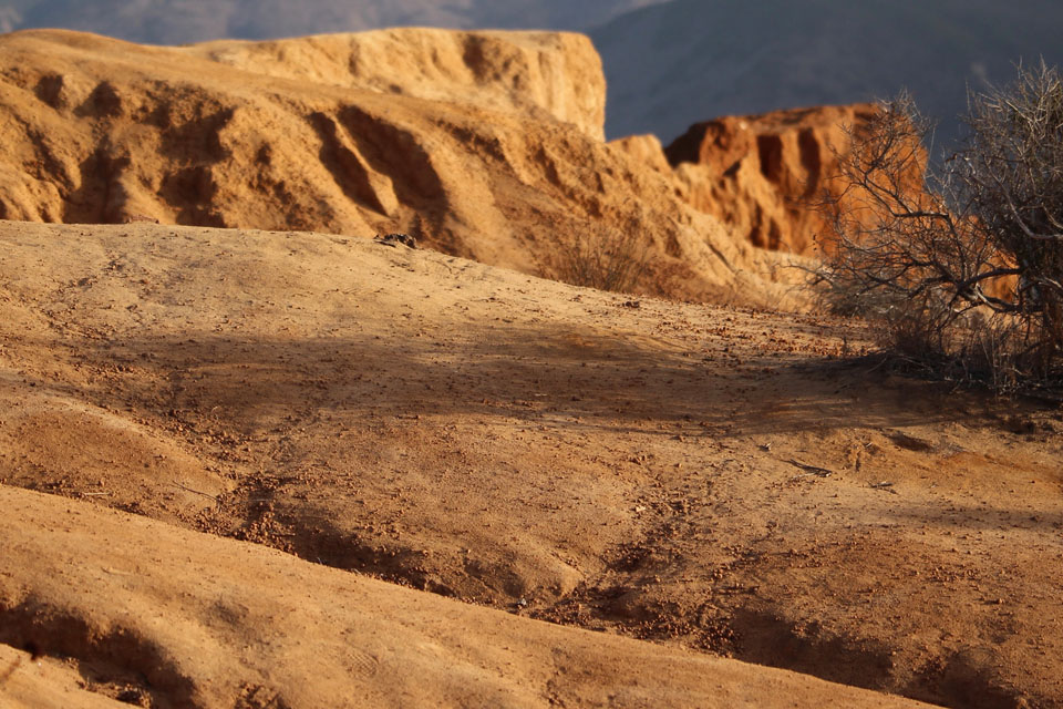
No. 5 - Marine Terraces
Across the Lagoon are the flat tops of the hills across the lagoon were cut by waves about 100,000 years ago, when the cliff tops were at sea level. The lagoon was created when the water that had been frozen in glaciers during the ice age melted, raising sea level by about 400 feet and flooding a deep canyon. As the ocean levels declined the lagoon remained and with restoration dredging completed in 1997 the lagoon has been reopened to tidal flushing.
Batiquitos Lagoon Foundation
www.batiquitoslagoon.org
Preserve, Protect, and Enhance Batiquitos Lagoon
Phone: (442) 320-7009
Address: P.O. Box 131741, Carlsbad, CA 92013
PLEASE—NO COLLECTING!
ABOUT THE LAGOON
Batiquitos Lagoon is located on the coast about 30 miles north of San Diego. It is in the city of Carlsbad and just north of the city of Encinitas.
The lagoon can be seen and experienced from a nature trail on the north side. The public walking and hiking trail is about two miles long.
It starts just east of Interstate 5 at the end of Gabbiano Lane and goes most of the way to El Camino Real on the east end of the lagoon.
There are five public parking lots providing access to the trail, one by the Nature Center and four on Batiquitos Drive.